
COLLECTIONS
SECOND EDITION - DESIGNED LANDSCAPES PORTFOLIO
Canadian Landscapes Portfolio Collections & Document
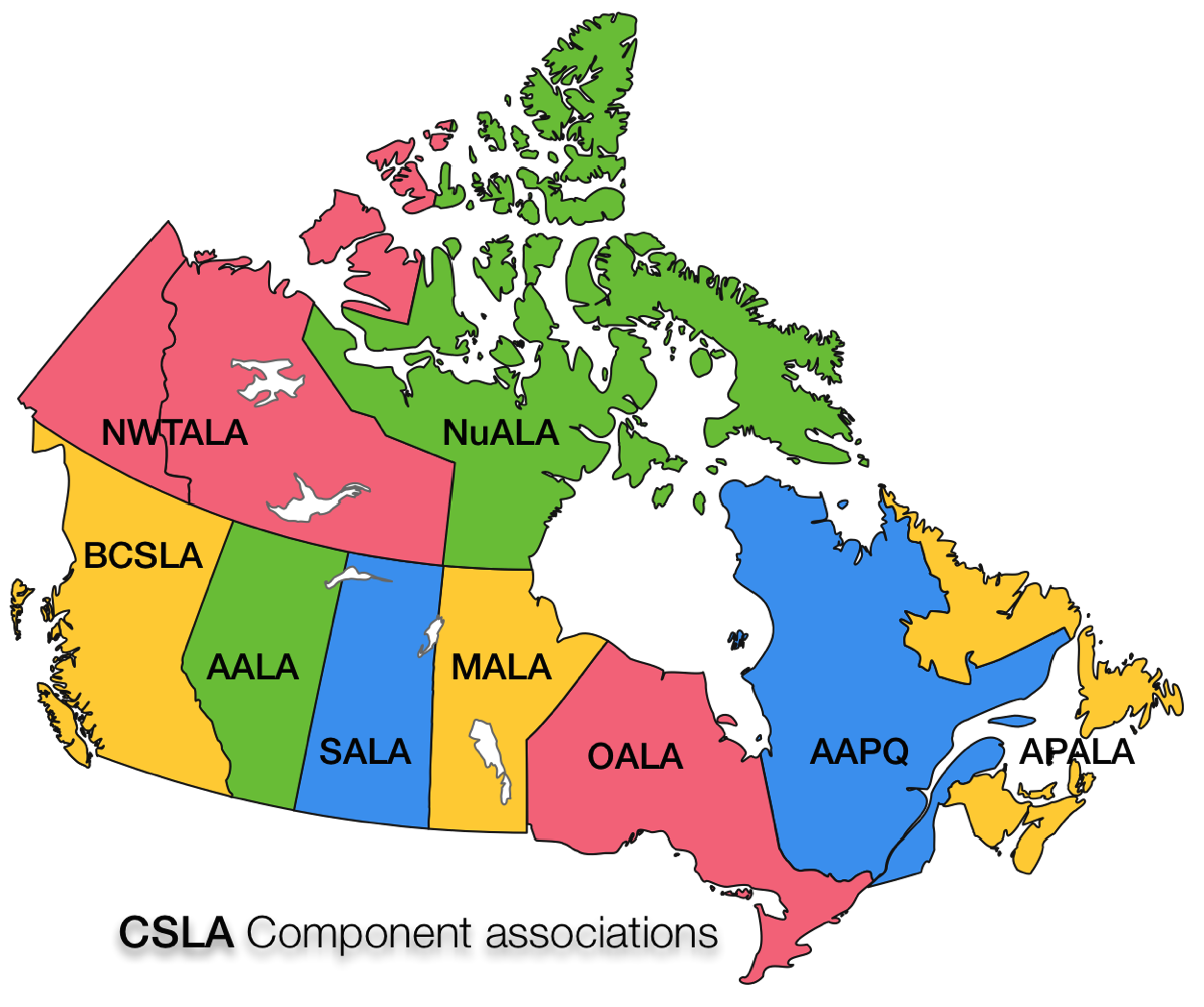
OALA - ONTARIO ASSOCIATION OF LANDSCAPE ARCHITECTS

THE DESIGNS OF ONTARIO’S LANDSCAPE
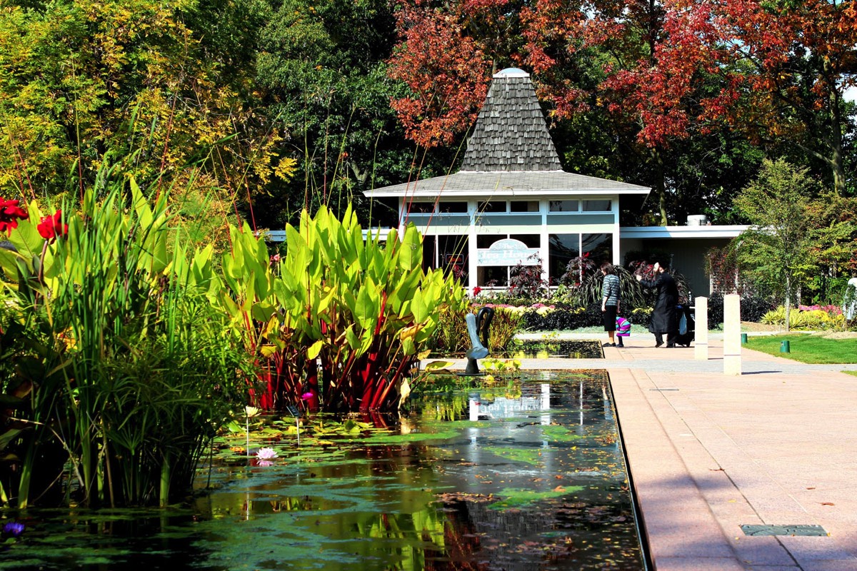
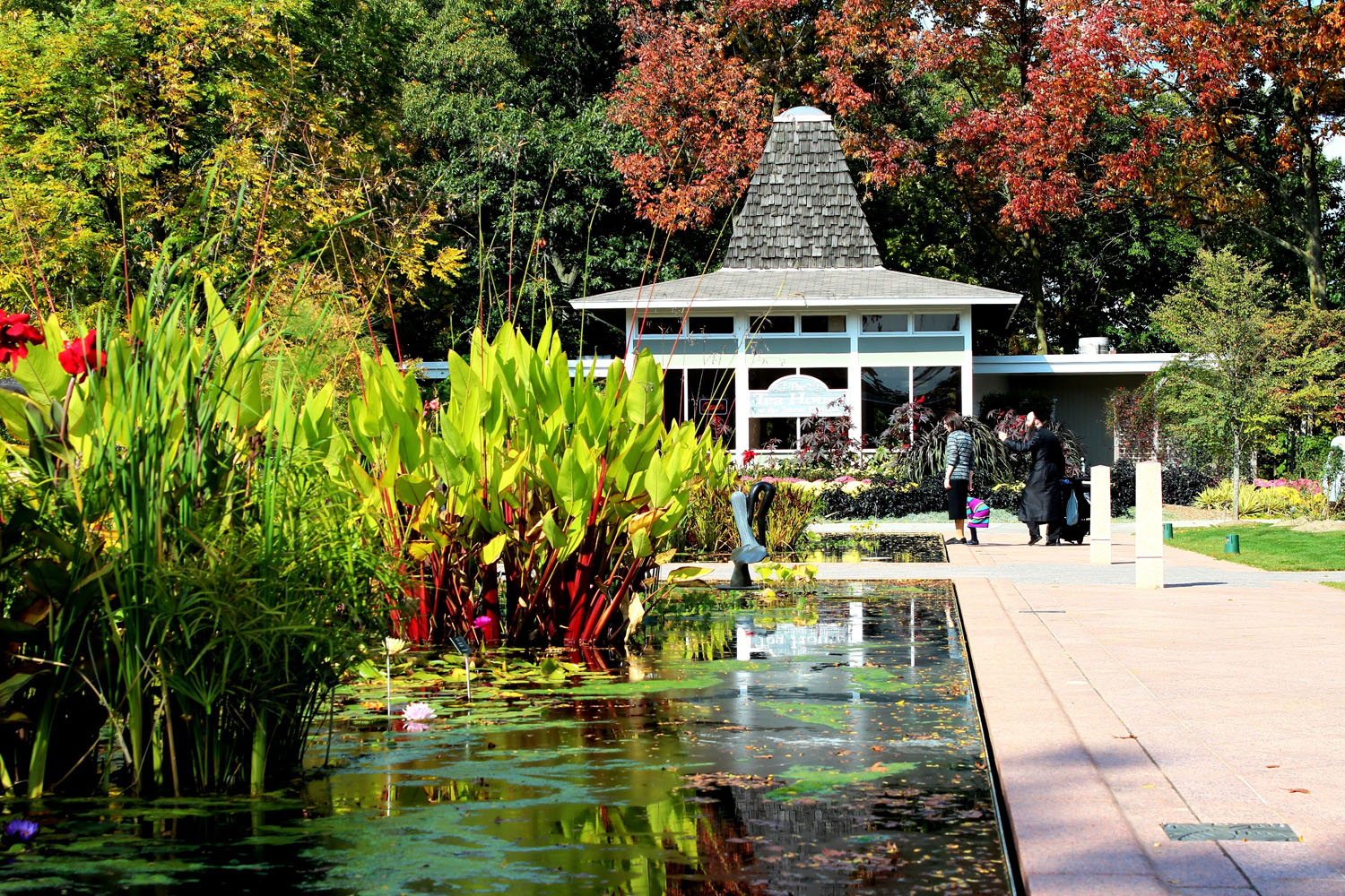
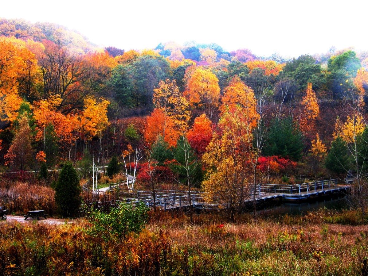
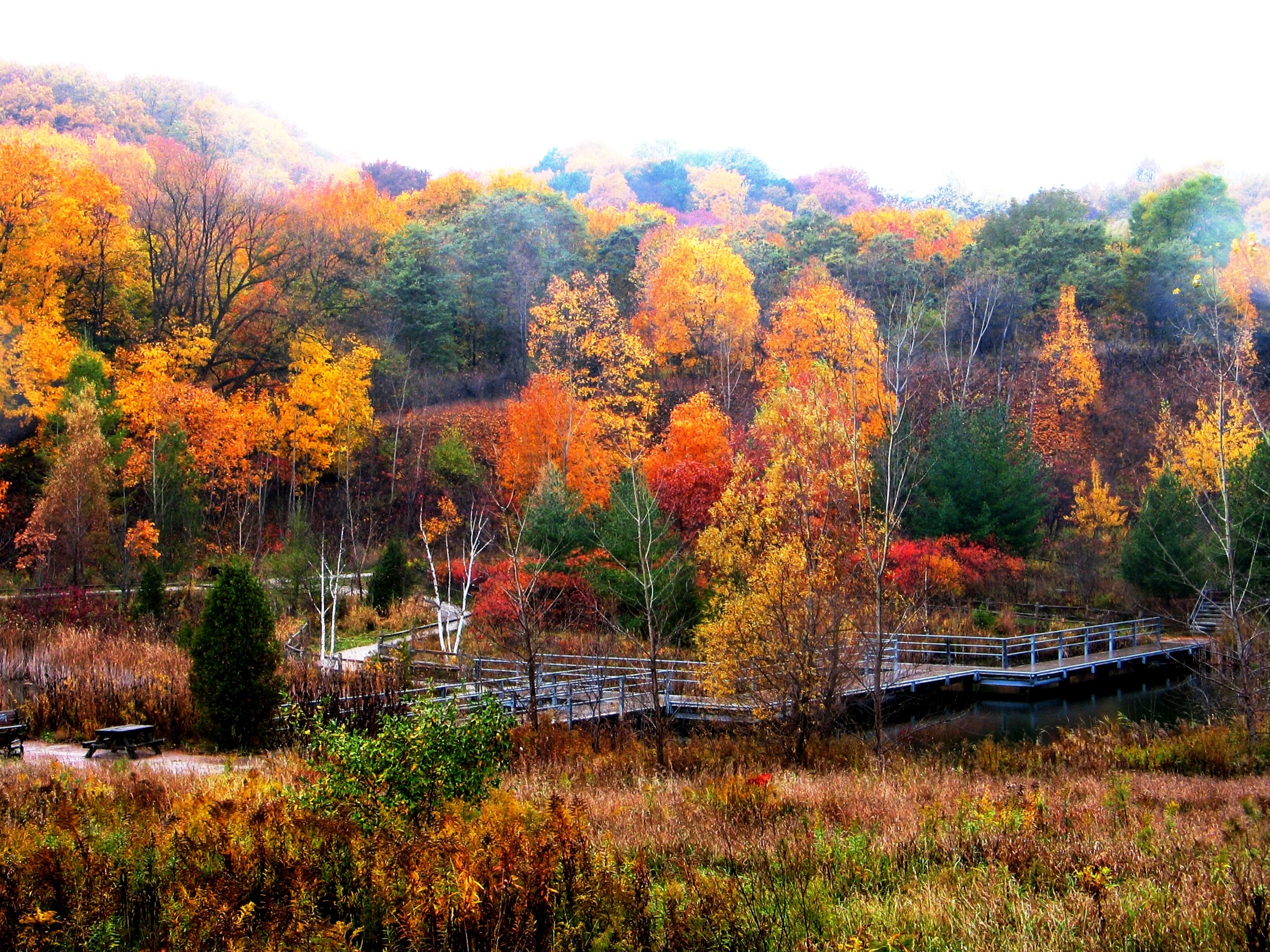
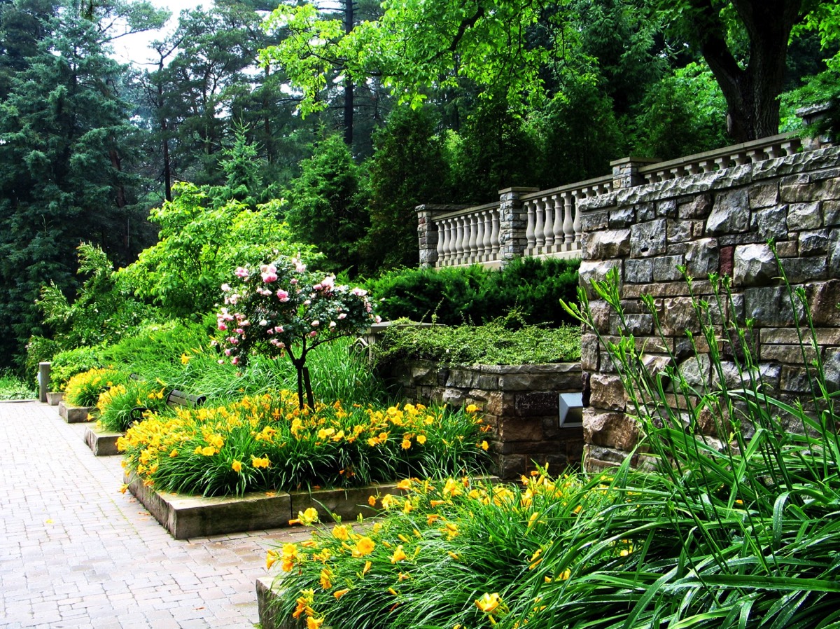
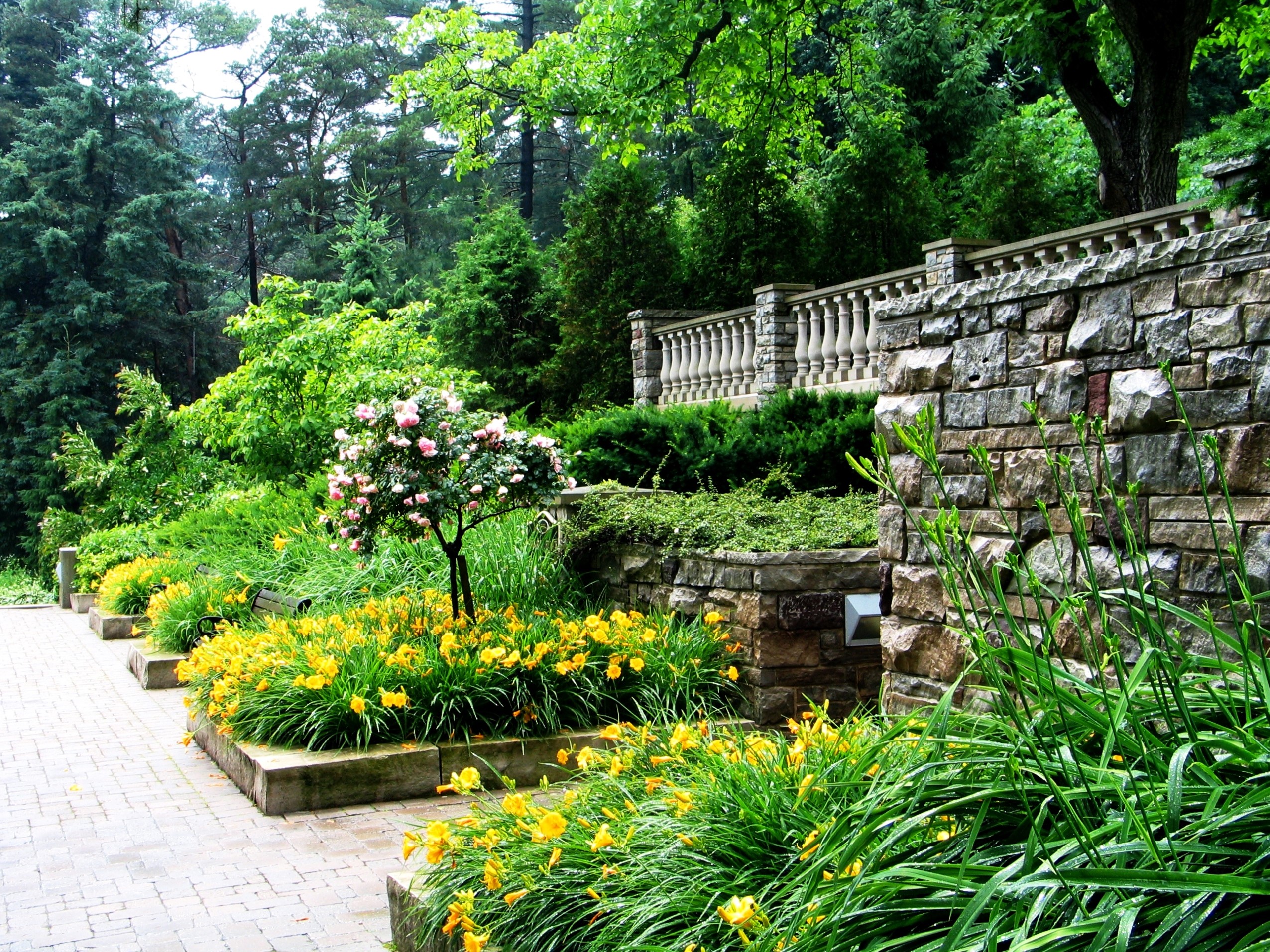
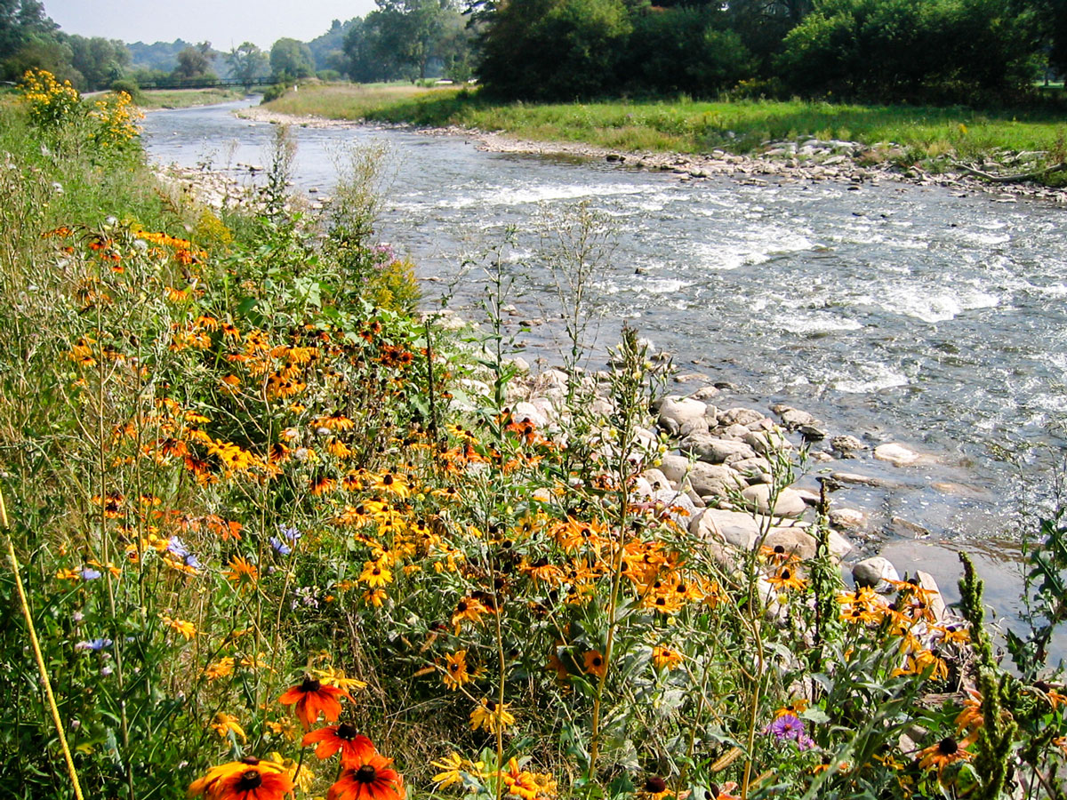
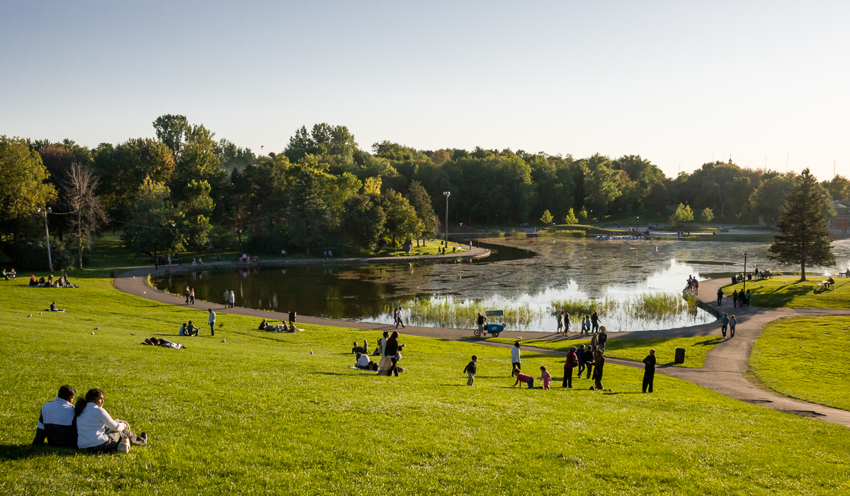
The Ontario Portfolio is as varied as the province’s many regions and although there is not a typical landscape, Ontarians will recognize and respond to the deeply engrained symbolism expressed in the collection. The designed landscapes of Ontario provide powerful ideas about place and identity.
To view the selected images is to see the interaction of humans and their environment through the lens of ‘landscape’. These are designed and constructed landscapes, resulting from cumulative and shared values. The places are expressions of cultural values that layer, change and evolve over time.
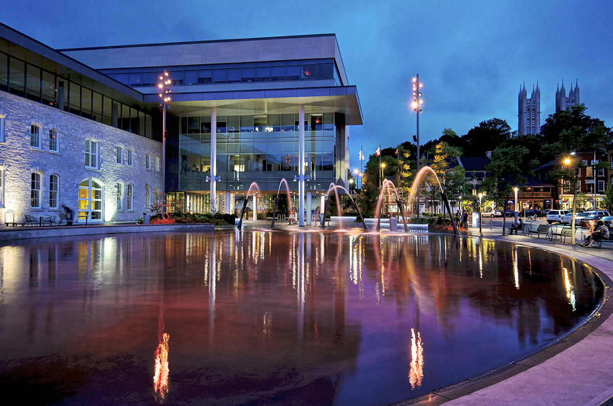
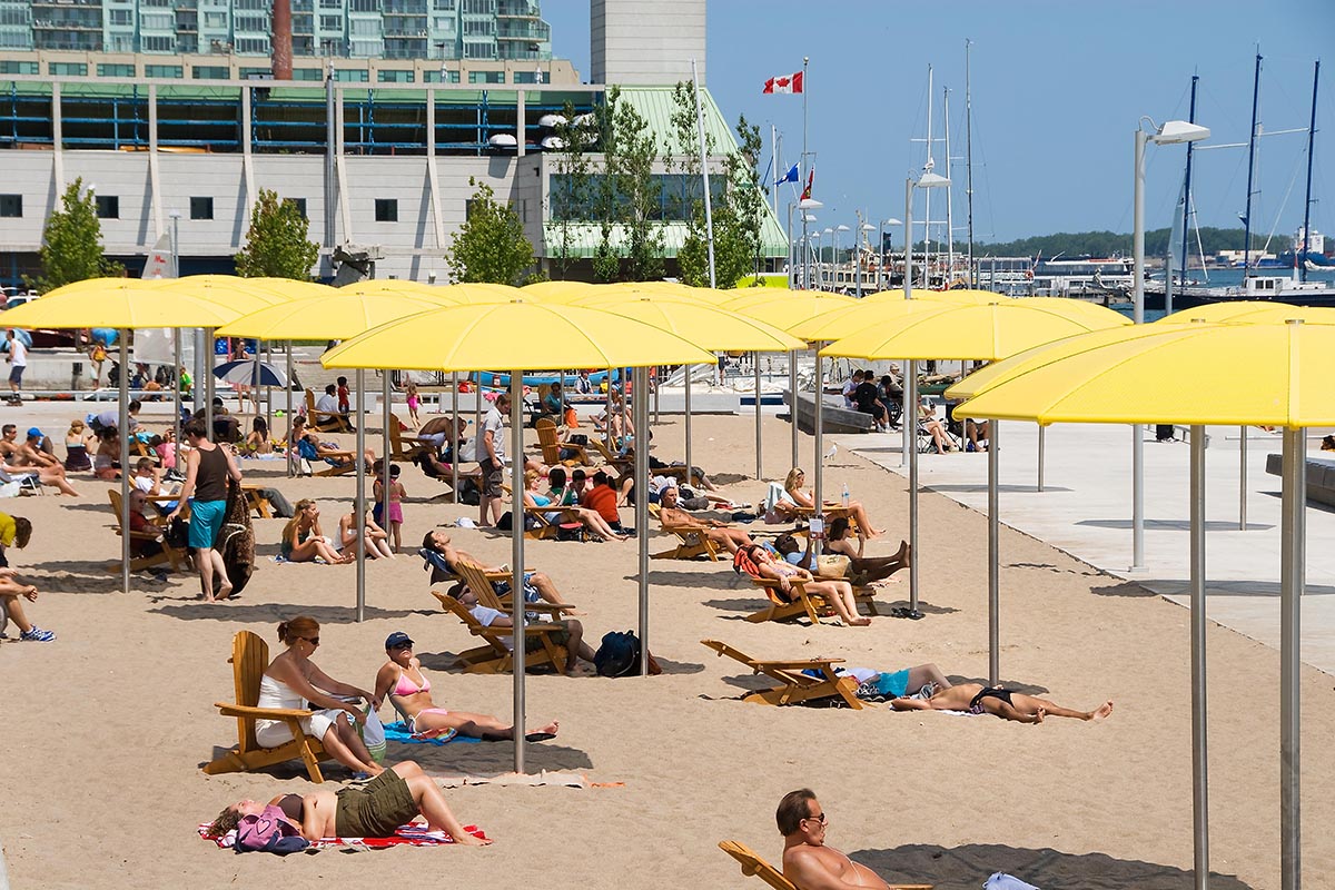
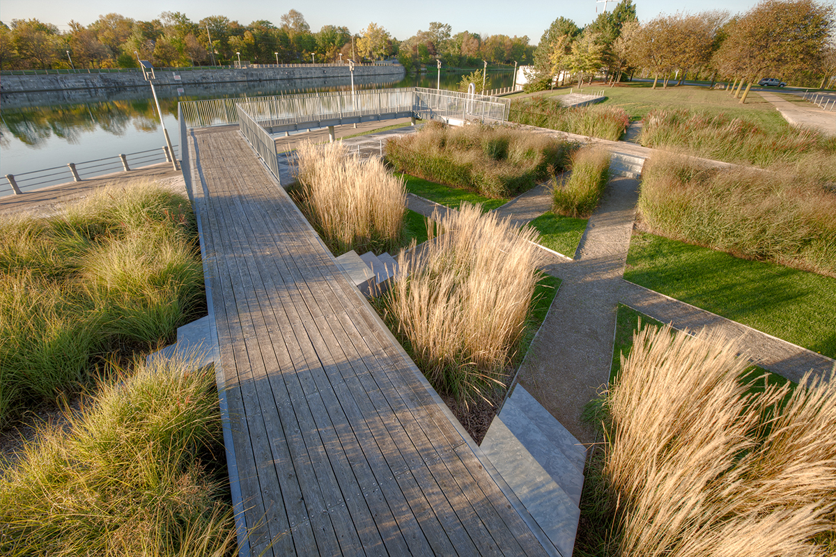
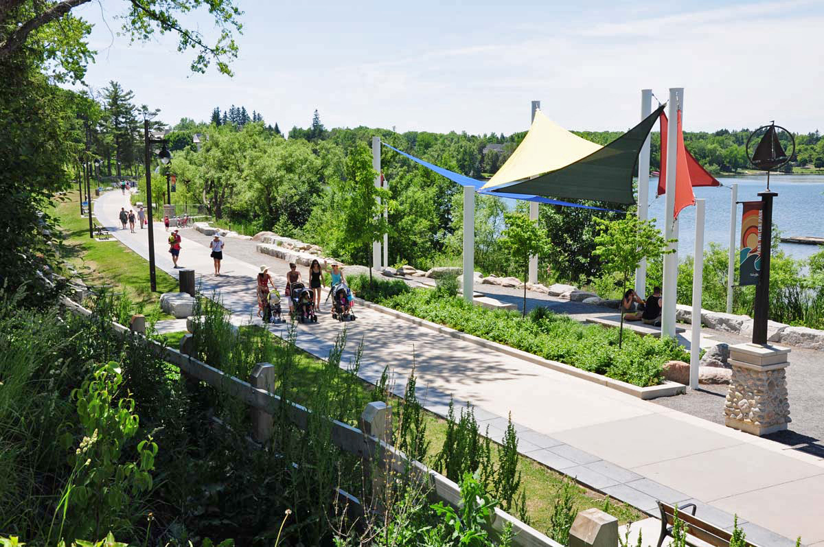
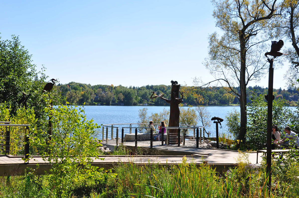
A landscape architect’s work is to understand and shape environments. The profession improves the land by applying aesthetic and technical rigor. Marginal sites are enhanced and a new future is made possible through design. Sites like highway underpasses, former shipping, warehousing and manufacturing lands, abandoned properties, forgotten floodplains; these landscapes become valued and valuable - significant - through the practice of landscape architecture.
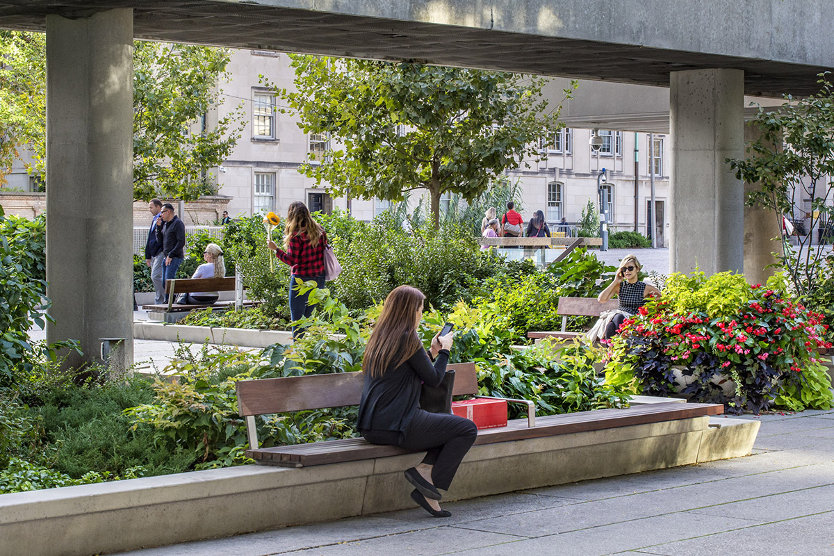
The OALA featured site, Underpass Park, transformed a previously underused and derelict highway underpass into an urban amenity. The park features a number of areas designed to encourage both passive and active recreation and incorporates public artwork, sculpture and landscape plantings. It responds to the nature of the site in a new way that results in the betterment of the well-being of the community.
The Ontario Portfolio highlights a re-thinking and re-imagining of landscape in order to create connections, forge new links, transform, renew and inspire. These are some of the considerations behind this year’s selections for the Canadian Landscape Portfolio. This collection of images recognizes the significance of designed landscapes that make up the great cities, streets, parks and open spaces that protect vital and resilient natural environments and healthy communities in the province we call ‘home’.
To view the selected images is to see the interaction of humans and their environment through the lens of ‘landscape’. These are designed and constructed landscapes, resulting from cumulative and shared values. The places are expressions of cultural values that layer, change and evolve over time.
A landscape architect’s work is to understand and shape environments. The profession improves the land by applying aesthetic and technical rigor. Marginal sites are enhanced and a new future is made possible through design. Sites like highway underpasses, former shipping, warehousing and manufacturing lands, abandoned properties, forgotten floodplains; these landscapes become valued and valuable - significant - through the practice of landscape architecture.
The OALA featured site, Underpass Park, transformed a previously underused and derelict highway underpass into an urban amenity. The park features a number of areas designed to encourage both passive and active recreation and incorporates public artwork, sculpture and landscape plantings. It responds to the nature of the site in a new way that results in the betterment of the well-being of the community.
The Ontario Portfolio highlights a re-thinking and re-imagining of landscape in order to create connections, forge new links, transform, renew and inspire. These are some of the considerations behind this year’s selections for the Canadian Landscape Portfolio. This collection of images recognizes the significance of designed landscapes that make up the great cities, streets, parks and open spaces that protect vital and resilient natural environments and healthy communities in the province we call ‘home’.


You are looking for more information on the 2016 Portfolio?
Or 2017?
Lac des castors… Parc du Mont Royal (QC)
Auto Reply
We want to thank you for your interest in the Portfolio Initiative. We will answer to your request as soon as possible…
Thanks again…
Coordination team - Jean Landry
Coordination team - Jean Landry


©JeanLandryPhotos2017